Length: 40.0km
Duration: 8:38hr
Elevation gain/loss: 2'392m
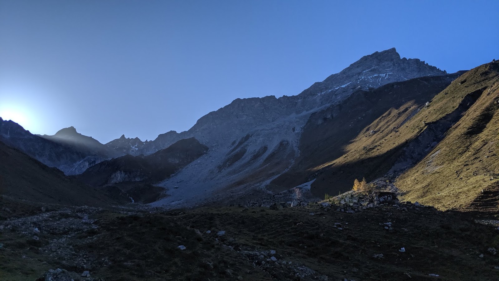
On a warm October weekend, we spent two nights in Pany (Graubünden) and decided to head out to a trailrun to summit the Rätschenhorn (2'703m) on Saturday morning. We left the house at 8:00am and the sun was just rising. In the shadow it was still cold, but the forecast for the day was super sunny, so we looked forward to it.
The first 8km are more or less flat (200m ascend/descend) towards St. Antönien. From there, we started our ascend to Rätschenhorn on the West side of the mountain. For most of the time, we were in the shadow and the wind was really cold. We tried to move a bit faster to warm up. At higher elevations there were still some snowy patches, but the trail overall was free of snow.
The last ascend to the Rätschenhorn at 2'703m involved some climbing up, but the holds for your hand were perfect and the ascend wasn't very steep. The view from the top is breathtaking, you can see towards Weissfluhjoch (2'693m) to the South, and Sulzfluh (2'817m) to the East.
As the wind was picking up on the top, we decided to descend down the first part, before taking a proper break ;) By now we had already ascended close to 1'500m and were looking forward to running down for a good distance. The trail down was very nice and made running easy. There was no wind on this side of the mountain and because it was facing South, the sun was burning more and more.
By the time we made it down the mountain towards the valley, we could see Pany on the other side of the canyon. It was so close, but because there is no bridge going over the to other side, we had to do a 6km detour loop towards St. Antönien, before being back in Pany. This part of the trail was really exhausting, we tried to run as much as possible despite our legs being very tired. We made a quick stop at the Volg supermarket to pick up some food for dinner, before running back up to the hut. We were really exhausted when we made it back to the house, it was a long day and we covered a big distance.
 |
| 8am start into the day. |
 |
| The sun is warming us up. All stocked for the day. |
 |
| Beautiful church in St. Antönien. |
 |
| On the right you can see Rätschenhorn. |
 |
| Still some snowy patches left, but only in shadowy spots. |
 |
| Sun is finally hitting the trail. |
 |
| Last scramble to the summit. |
 |
| Beautiful view from Rätschenhorn towards the West. |
 |
| The summit was windy, but the view made it all good. |
 |
| Mandatory summit selfie on Rätschenhorn. |
 |
| View towards South. |
 |
| It was time to descend and get some running going ;) |
 |
| It was getting warmer and warmer the lower the elevation. |
 |
| View over Küblis and Schiers in the distance. |
 |
| View towards Saaser-Calanda, Bockhorn and Geisshorn. |
 |
| View towards Pany, looks so close, but still about 10km left ;) |


 and back)
0 Comments