Over time it gradually went steeper and we gained more elevation. However, there were always sections that were either flat or descending so that we could run a fair junction of the time. From km 8 onwards, there was a longer section that was ascending. We passed by a little hut and a really awesome looking rock climbing section, we even saw some climbers there. It was time for a little break on a short plateau with a small section of snow that we had to cross. The next two sections were definitely more steep and we lost some of our pace here. The path towards Altmansaddle was steep, but it was rewarded with several capricorns that we could see hanging around in the snow and the mountain. From there, we had to descent a steep section for about 180 meters. It was a bit exposed and most of the time had steel cables to secure and hold yourself.
The final ascent towards Säntis, was really beautiful. There were very steep section and one area (see below), that was one of the most exposed trails I’ve walked so far in Switzerland. I was surprisingly comfortable walking along there and holding onto the steel cables. The top of Säntis was very touristy and had a lot of people. No wonder, as the views were really nice and there is a gondola going up :)
After a quick food and ice-cream break, we made our descend towards Ebenalp. Clouds were coming in, but we could see that it was only temporary, and luckily there was no rain coming. The first descend down was similarly steep as the final ascend up. You had to tightly hold on the cables to be secure. So we definitely moved way slower than expected. The trail on the other side was a bit more rocky but luckily went more flat after a while.
At some point we realized how much time we lost during the steep ascend and descent of Säntis, and we weren’t sure if we could make it on time to catch the last Gondola from Ebenalp. So, despite our tired legs and the often times steep and exposed terrain, we decided to run as much as possible. Then, finally we saw a hut and thought ‘yeay, there is the Gondola’. Unfortunately, it wasn’t, it was a mountain hut 2 hrs away from the Gondola. At this point, we only had 45 min left to make it on time and we started running faster than before. Once we saw the Gondola in the distance, I was sure that we could make it there on time, but the official trail sign still said it was a 45 min trail, but we only had 10 min left. So, we ran even faster. At times, Zeno was running in front of me and I told him to go ahead and if we reaches the gondola on time ask them to kindly wait for me for another 1-2 min. Zeno made it to the Gondola and just when he saw the station, the Gondola descended, it was 7pm sharp and the Gondola left.
When I reached the station some minutes later, I was really exhausted, we were already running / hiking for 8 hours and were about 27.8 km in. We checked the maps and realized it was ‘only’ a 1.5 hr / 800 m decent down to the Schwenden train station. I guess at this time, I was quite happy that is was only 1.5 hrs and that we would still make it to our train back to Zurich. The descend was brutal, my legs were burning but we took it with humour. We were happy to have had the chance to run on this breathtaking trail for the day and happy that we did our first trail running trip together. Looking much forward to all further trail runs. We made it to the bus station with 15 min to spare.
 |
| Testing out our new Ultimate Directions running vests |
 |
| First part is running downhill. |
 |
| Perfect weather for the day |
 |
| Running past cows |
 |
| Just stunning. |
 |
| Runing downhill before a longer climb up |
 |
| All good, all fresh |
 |
| On the left there's a great climbing area. |
 |
| First snowfield of the day. Easy to cross. |
 |
| Last flat section before ascending to Säntis. |
 |
| You can see a capricorn by the snowfield. |
 |
| View towards Säntis mountain with the tower. |
 |
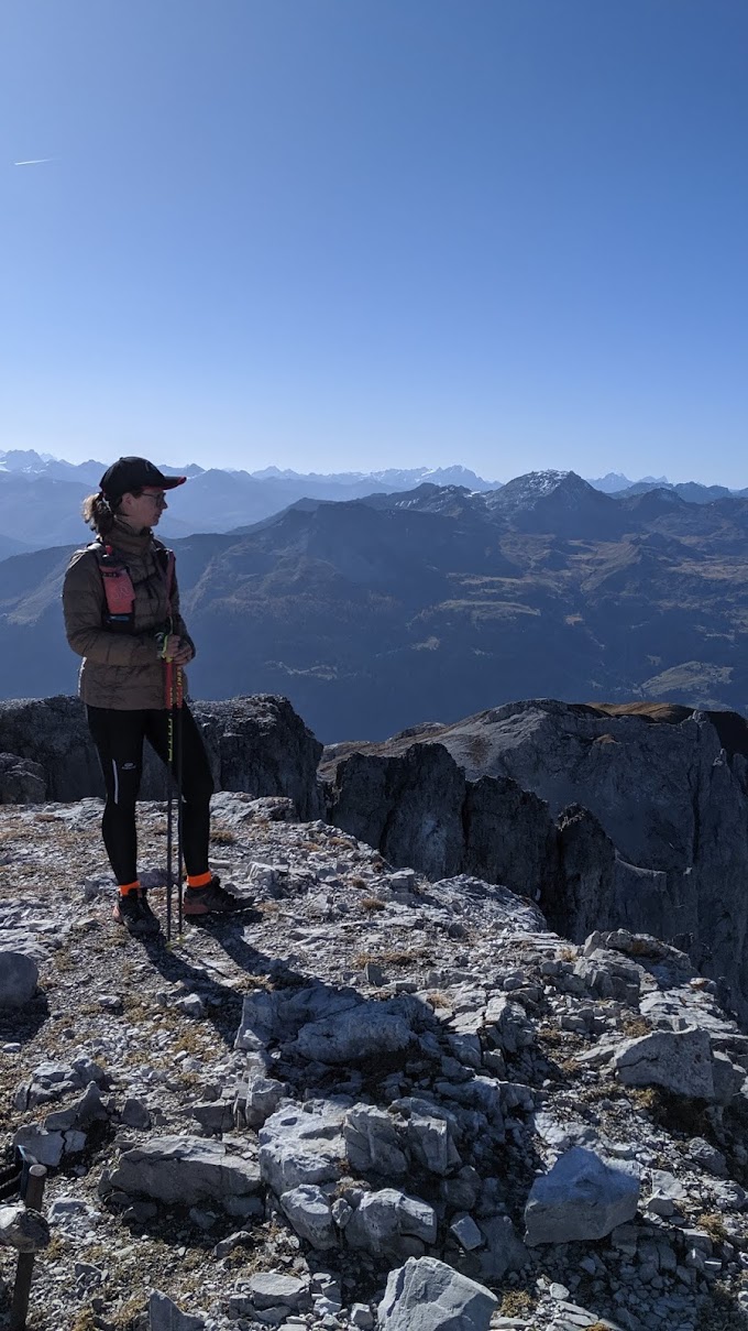
| Last break before reaching Säntis. |
 |
| So beautiful. |
 |
| This was the steepest section of the trail, just before the Säntis summit. |
 |
| On top of Säntis |
 |
| On the way down. Clouds were moving in but no rain. |
 |
| Weather clearing up. |
 |
| The Gondola station at Ebenalp, the last one just left. |
 |
| At the bus station after a lot of running, totally exhausted, but beautiful sunset. |


 - From Hoher Kasten to Schwende)
0 Comments