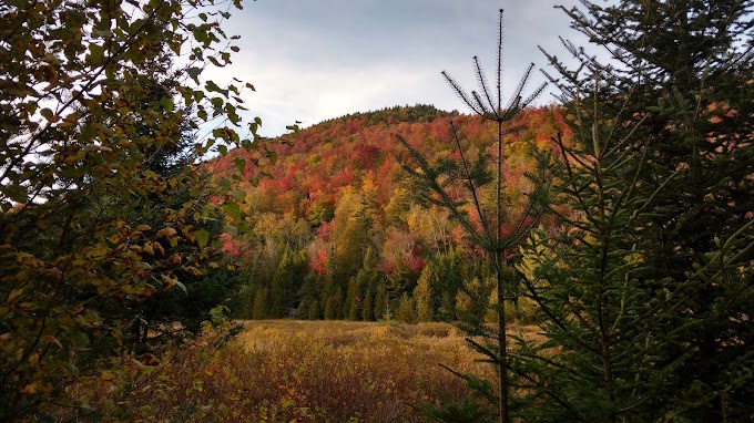
Agenda for Sept 20th, 2015:
Mount Colvin - 4,080 ft (1,240 m )
Blake Peak - 3,970 ft (1,210 m)
Nippletop - 4,610 ft (1,405 m)
Dial Mountain - 4,003 ft (1,220 m)
On the second day of our weekend hike, it was time for 4 more 46er peaks: Colvin, Blake, Nippletop and Dial Mountain. The day before we had successfully hike Street and Nye Mountain, read here. We pitched our tents in Keene Valley by the Roaring Brooke waterfalls. Very nice camping spot, 5min walk from the car and with access to water from the waterfalls.
We moved our car from the Roaring Brook Trail parking lot across the street to the Ausable Club Road parking lot. It's a big parking lot with toilets. From there we started our full day hike at 6:20am. The first 1/2 mile of the trail goes along the private road to the Ausable Golf Club, from there you hike for about 1.8 miles (3 km) on a private gravel road until you reach the 'real' trail path. On our agenda today was to hike all the way along the valley and Gill Brook to ascend the first peak of the day, Colvin. The trail towards Mt. Colvin was very steep and had some rocky steep sections in it. For some parts, you had to get hold onto a rope or trees along the way. We reached Mt. Colvin at 9:30am. The view was very nice. From there you go further along the same trail to head over to Blake Mountain. Basically only people who want to hike all 46er take this strenuous detour to Blake, as there is no view at all. At 11 am, we made it to Blake Mountain and were back at Colvin by 12:20 pm. All in all, coming from Colvin, Blake was an almost 3 hr detour.
From Colvin you have to descend 300 m down before ascending the highest of todays four peaks, Nippletop. The climbing time was about 1,5 hrs. It is hard, but there are no difficult sections, it just goes up ;-) At 3pm (8 hrs 40 min into our hike), we finally reach Nippletop mountain and the view was just amazing. You could see North towards Gothic, Marcy and Colvin (which looked pretty small and far away). From Nippletop, a 4 hr long descend was ahead of us. On the way, you quickly hike Dial Mountain (reached the top at 3:45 pm), before descending back to the private gravel trail road. For the last hour, we had to use our headlamps as it was getting dark. We were quite slow on the descend, as my knees were hurting a lot. By 7:12 pm, we were back at the car. YAY! 6 more 46er peaks in one weekend, what a success!
Here our stats:
Hiking time: 12 hrs 55 min
Distance: 30.1 km
Elevation gain: 3,313 m
View from Nippletop. The great range is in the far back (Gothic, Saddleback,...). The tiny mountain just below is Mt. Colvin, the one we just hiked.
 Panorama view from Nippletop
View Northwest from Nippletop into the valley and Lower Ausable lake.
Giant mountain is visible in the far right back.


0 Comments